
www.SafestCatch.Net
Twitter@SafestCatch
Facebook.com/SafestCatch


About Safest Catch
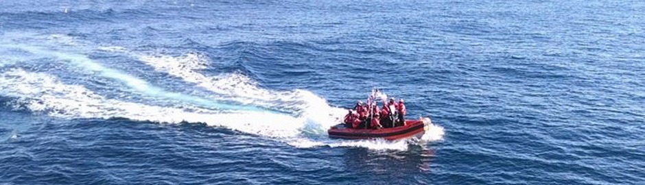
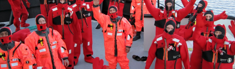
SafestCatch.net is a web-based community committed to safety at sea and sustainable fisheries; Safety first followed closely by quality seafood production.
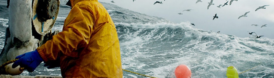
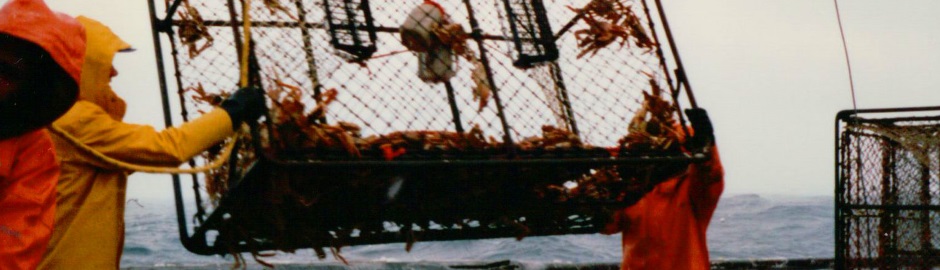
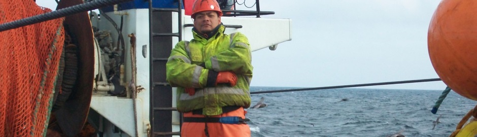
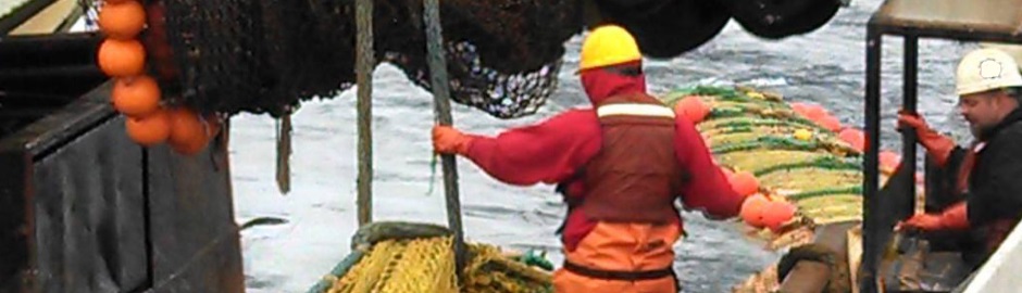
In a play on the imfamous Deadliest Catch, it is important to look beyond 'made for TV' and look at the real fishermen who are the true stewards of our Nation's resources.
Services
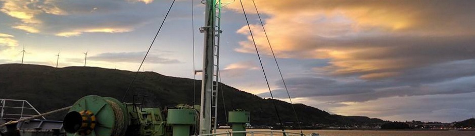
This site is envisioned as a go to source from one lifelong mariner's perspective to follow the maritime industry of the Pacific Northwest/Alaska and provide timely information on Safety Practices, Real World fishing in the North Pacific & Bering Sea, Training/Educational Links, Sustainable Stewardship of our Nation's resources, and more ~ check back regularly as the industry is 'all consuming' and there undoubtedly will always be something new to report on.
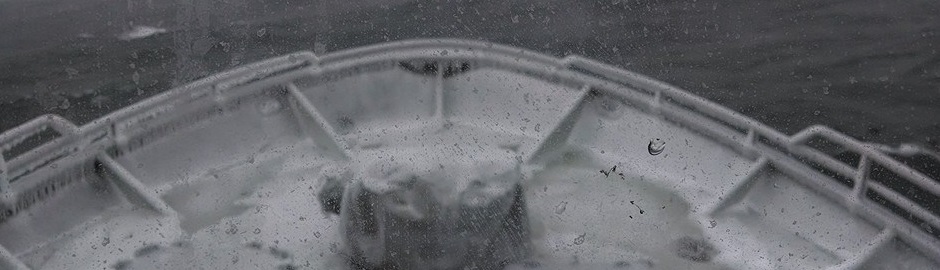
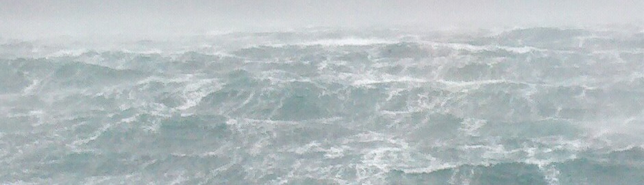
Log Book - NURI 11/5/14
Typhoon NURI 11/5/2014
SafestCatch.Net ~ Safest Catch dot Net
UPDATE: 11/9/2014 ~ Contrary to the dire forecast, we are happy to report that the Storm went far East of the fishing grounds (towards Russia) and the major Fishing Port of Dutch Harbor was not impacted whatsoever. We are HAPPY to report GOOD news for a change!
The remnant of Typhoon Nuri is expected to join up with the polar jet stream and a very strong disturbance in the mid-latitude belt of westerly winds
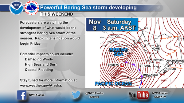
Forecasts from both the European (ECMWF) and American (GFS) computer models continue to predict an extremely powerful non-tropical storm to develop from this merger over the Bering Sea, near the western Aleutian Islands of Alaska Friday into Saturday.
Read more: The Weather Channel
Dr. Jeff Masters posted today on Weather Underground that Typhoon Nuri is down to Category 1 strength as it steams to the northeast at 11 mph towards Alaska.
Satellite loops show that Nuri has maintained a large area of heavy thunderstorms, but the eye is no longer visible, and high wind shear of 20 - 30 knots is significantly disrupting the storm. Nuri will lose its tropical characteristics on Thursday as it becomes embedded in a cold front. As the extratropical version of Nuri moves into the Bering Sea to the west of Alaska on Friday, a very powerful jet stream will interact with the storm and cause it to rapidly intensify into one of the strongest low pressure systems ever observed in the Pacific Ocean.
Ex-Nuri's central pressure is forecast to drop from around 970 mb late Thursday night to about 918 mb late Friday night. The 00Z Wednesday run of the European model predicted that ex-Nuri would bottom out near 918 mb at 03Z Saturday, about 300 miles west-northwest of the westernmost Aleutian Island, Attu. The 00Z Wednesday GFS model had the storm reaching 918 mb 300 miles north of Attu.
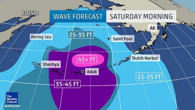
The NWS in Anchorage is predicting that a large swath of hurricane force winds will be possible from Shemya eastward to Adak and Atka in the Aleutian Islands late Friday into Saturday, with seas building to 45 feet or higher. A storm surge of 2' is predicted at St. Lawrence Island on Saturday morning, and over 1' at Nome.
Read more at the National Weather Service Alaska
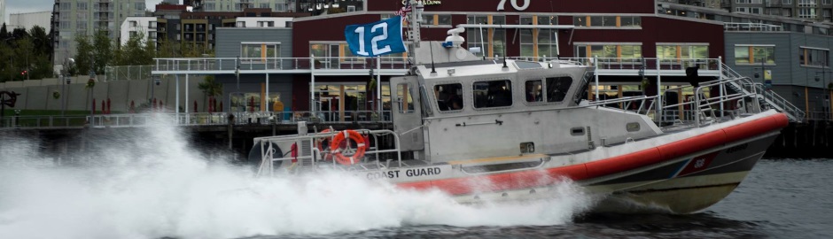
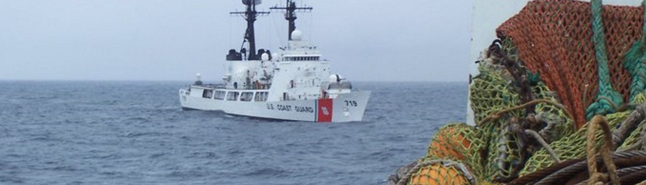
Deadliest Catch meets Safest Catch ~ real fishermen pursuing safety and sustainability.